COSMOS 2228
Launch
Launched on Dec 25, 1992 from 32/2, Russia aboard a Tsiklon-3.
Tsiklon-3 | Tselina-D 68 →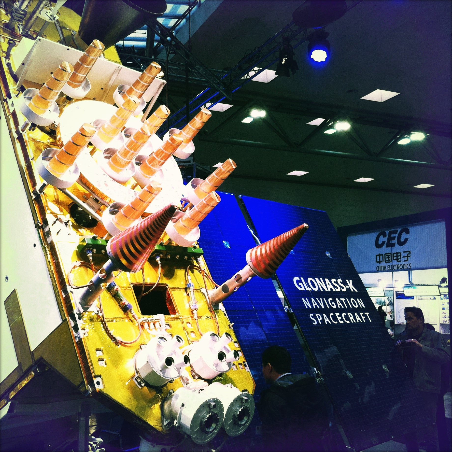
Live · TLE epoch 2026-10-23 23:02 UTC
Orbit class
LEO — Low Earth Orbit (circular, < 2,000 km)
Operator
Russia / Soviet Union (military)
Country
Russia
Manufacturer
—
Launched
Dec 25, 1992
Mass
—
Apogee
589 km
Perigee
566 km
Inclination
82.52°
Period
1.60 h
Part of the GLONASS constellation · this satellite is one of 761
Russian satellite navigation system. ~24 active sats in MEO at ~19,100 km.
Altitude history
Apogee and perigee for COSMOS 2228 across 148 days of archived orbital elements (150 element sets, one per day).
Trend
Decaying
Change
-1.3 km
Rate
-0.01 km/day
Now
566 × 589 km
Apogee Perigee
Derived from our own archive of CelesTrak orbital elements, sampled every 3 hours. Short windows show drag and station-keeping; they are not a reentry prediction.
Related satellites
Sources & further reading
Embed this satellite on your site
Free for editorial use. Attribution back to LowEarth is required.
<iframe src="https://lowearth.app/embed/22286" width="640" height="400" frameborder="0" allow="fullscreen"></iframe>